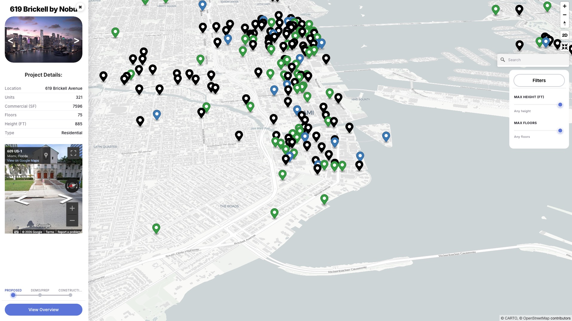
Floridian Development is excited to announce the release of its first-ever interactive development map, a free tool months in the making that visualizes nearly 600 real estate and construction projects across Florida. Built to be both intuitive for casual users and detailed enough for industry professionals, the map consolidates project data that has traditionally been difficult to find without digging through municipal filings, permit offices, or fragmented public records.
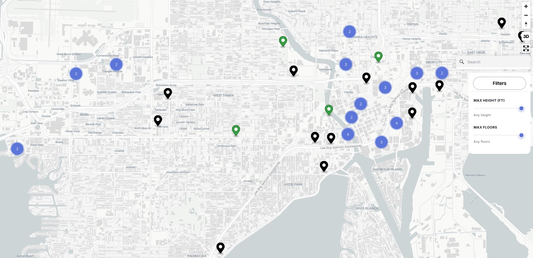
The map plots every project on an interactive, zoomable interface, with clusters that break apart into individual project pins as users zoom into specific cities and neighborhoods. Clicking any pin opens a full project profile, including renderings, a Street View look at the site, and key stats such as unit count, floor count, height, location, and square footage: giving users a level of project-specific detail that is normally scattered across dozens of sources.
A standout feature is the map’s granular filtering system. Users can narrow results by:
- Height (in feet) and floor count, using adjustable sliders
- City, with the ability to include or exclude specific municipalities across the state
- Planning stage, including Proposed, Demolition/Site Prep, and Under Construction
- Property type, including Multifamily, Office, Hotel, and Mixed-Use developments
- Search bar
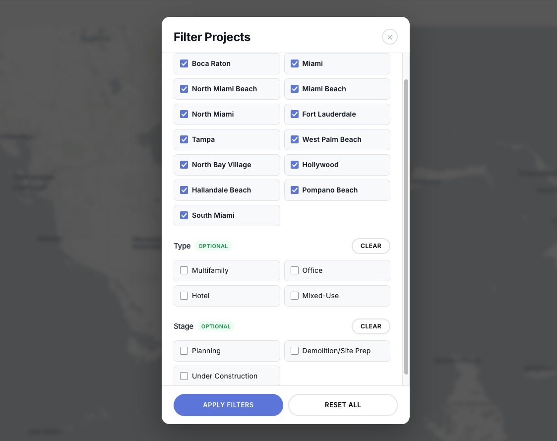
Each project profile also includes a phase tracker, letting users see at a glance where a development stands from initial proposal to active construction. Towards the bottom, a button guides users to the project’s dedicated page, featuring an elevation, site plan, expanded renderings, the project’s team, and other key information.
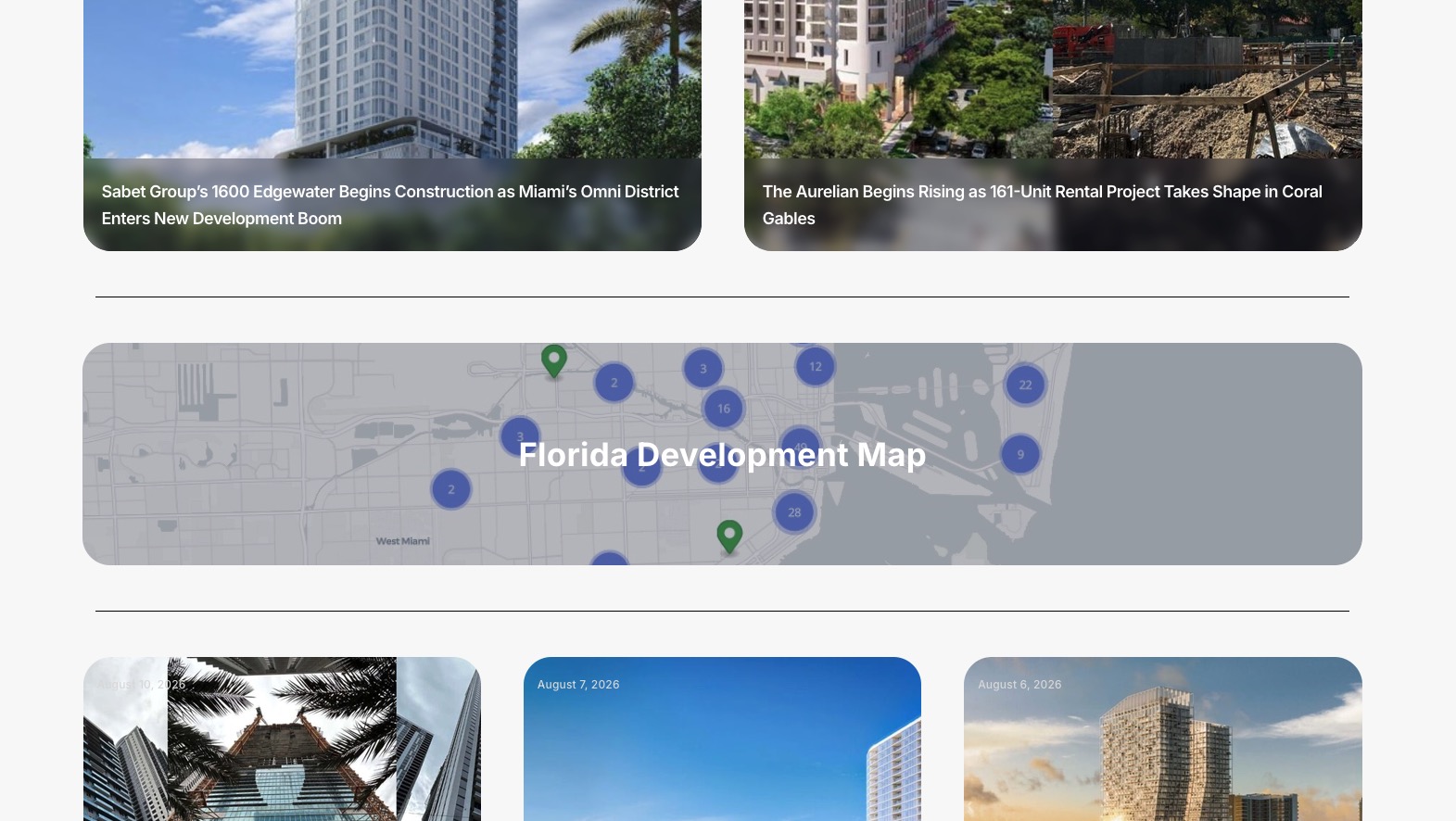
The map is now live and available to the public at https://floridiandevelopment.com/florida-development-map/. Floridian Development plans to continue expanding coverage and adding new projects as they enter the pipeline.
Currently:
- Miami: 208 listed developments
- Fort Lauderdale: 108 listed developments
- Tampa: 65 listed developments
- Miami Beach: 54 listed developments
- Hollywood: 43 listed developments
- West Palm Beach: 33 listed developments
- Pompano Beach: 24 listed developments
- North Miami Beach: 21 listed developments
- Hallandale Beach: 14 listed developments
- South Miami: 12 listed developments
- North Bay Village: 10 listed developments
In the coming weeks/months:
- Coral Gables: 30+ listed developments
- Boca Raton: 30+ listed developments
- North Miami: 20+ listed developments
- Orlando: 100+ listed developments
- Surrounding Miami-Dade: 300+ listed developments
- Boynton Beach: 10+ listed developments
- St Petersburg: 30+ listed developments
- and much more…
Floridian Development keeps both the database and map current through continuous, hands-on research, regularly combing city archives, filing public records requests, and monitoring news coverage. Given how often projects shift, the map is updated on a near-weekly basis, and the site is working toward a future feature that would let users see project changes and additions in real time right on the homepage.
Municipal planning documents are a mess. Data varies city to city, the language is dense and legalistic, and the details that actually matter, like a revised unit count buried in an amendment, a project quietly renamed, or a permit that got pulled, are easy for automated tools to gloss over or misread entirely. So for now, Floridian Development handles data entry and verification by hand.
It’s slower, but a person reading a filing catches context an AI won’t: knowing when a project has actually stalled versus just gone quiet, or recognizing that two listings are really the same development under a new name. Mistakes still slip through occasionally, since no process is perfect, but the human review is what keeps the map trustworthy rather than just comprehensive.
In the future, Floridian Development will also combine the actual PDFs gathered for users to download under each dedicated project.
5 Comments
Hi,
You don’t need to log in. Just access the map here: https://floridiandevelopment.com/florida-development-map/
Hi How can I log in to get the interactive map for the developments in Miami
Okay. Thank you for acknowledging my question.
Apologies, they will be added in the coming months!
Why is there nothing south of the City of South Miami? That leaves off a significant number of developments that you have reported on.